ROCKS TALK
What do the rocks at the Arboretum tell us about the geologic history of the Chesapeake Bay watershed? Student geologists identify the geographic distribution of Virginia rock resources and the distinctions among igneous, metamorphic, and sedimentary rocks. Collaborating in teams, students carry out rock density investigations. Outdoors, they look for evidence of tectonic plate movement, weathering, and erosion.
Target SOL (for the Field Investigation. Additional SOL apply for before and after activities.): Science (2018): 5.1, 5.8 Math (2023): 5.MG.1, 5.PFA.2, 5.CE.2 English (2024): 5.RV.1

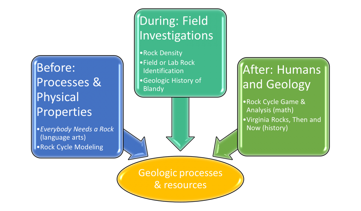
To enhance classroom connections, we have developed lesson clusters. Field investigations are more meaningful to students when they are integrated into their curriculum. This cluster can be used to introduce and/or review geology and human uses of geologic resources and increase depth of concepts and knowledge of these processes. Before-visit activities use modeling and language arts to develop student familiarity with geologic processes, properties, and observation skills. With the after-visit activities, students synthesize data and concepts learned /gathered in the field and connect Virginia geologic resources with human history. Click on each of the sections below to learn more about the activities.Click here for the full lesson cluster (see each section for individual activity plans).
NOTE: hover over bolded phrases to find links to resources
Before: Processes and Physical Properties
Before-visit activities use modeling and language arts to develop student familiarity with geologic processes, properties, and observation skills.
Modeling Rock Cycle with Crayons
During: Field Investigations
During your field investigation at Blandy, your students will engage in several indoor and outdoor lessons where they explore geology concepts as field and laboratory geologists, landscape historians.
Below is an overview of the “standard” program activities to assist you with integrating this field experience into the classroom experiences. This will change due to weather, the volume of students, or communication with environmental educators. Click here for a sample schedule (will vary depending on the number of classes).
VA Standards Addressed: Science (2018) 5.1, 5.8. Math (2016) 5.5b, 5.8a, 5.9b. Social Studies (2015) VS.2, USI.2d
- Field or Laboratory Rock Identification: In small research groups, students, as field geologists, identify the native rock at Lake Georgette and compare its properties to other rocks in their kit. If the weather is prohibitive, students as laboratory geologists identify and compare the properties of up to eleven rock samples in one of our indoor spaces. They communicate their findings and use evidence and reasoning to support their conclusions.
- Rock Density Experiment: Research geologists describe rock samples then calculate the volume of rock samples using displacement, measure the sample's mass, and calculate the density of that rock type. They use this qualitative and quantitative information to identify their sample, compare it to the lab’s research collection, and use a geologic map to identify in which Virginia geographic region it can be found.
- Geologic History of Blandy: As landscape historians, students learn to read Blandy’s geologic history by examining its native rock and rocks imported to the grounds for human use. This examination uncovers ancient and ongoing geologic processes including tectonic plate collision and the resulting orogeny/subduction, as well as chemical and physical weathering.
- Rock Cycle Game- Students engage in a kinesthetic cycle game to model the geologic processes such as weathering, erosion, and plate tectonics and how these factors affect the ever-changing earth.
After: Humans and Geology
With the after-visit activities, students synthesize data and concepts learned /gathered in the field and connect Virginia geologic resources with human history.
Literacy
- Rock and mineral collections – over a period of time, assemble at least 3 unique rocks or minerals – one must be shaped or used by people.
- In class, find the volume and mass of your rocks, describe its characteristics and possible use. Predict – is each one igneous, sedimentary, metamorphic, or a mineral?
- Expert help – contact your local soil and water conservation district to have an expert come in to help you identify the rocks and try to figure out where they came from. Make a map of the students’ rocks.
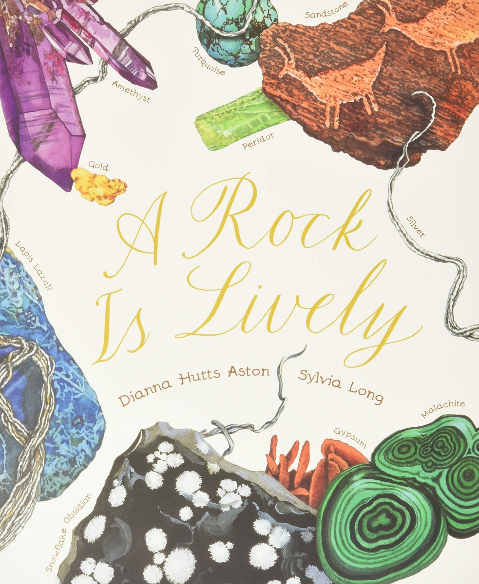
- Additional ideas can be found in the Chronicle Books teacher guide for A Rock is Lively. (PDF)
- "How We Use Rocks" Lesson Plan (Utah Education Network) - investigating the physical properties of rocks (PDF)
- "Sampling Rocks" Lesson Plan (ScienceNetLinks) - sampling methods and classification (PDF)


